Subscribe
39°

Flood Watch, Heat Advisory Issued For NJ As State Recovers From Deadly Storms
Just one day after a fast-moving storm swept through New Jersey, causing dramatic rescues, a home explosion, and multiple deaths, officials have issued both a Flood Watch and Heat Advisory for the region.
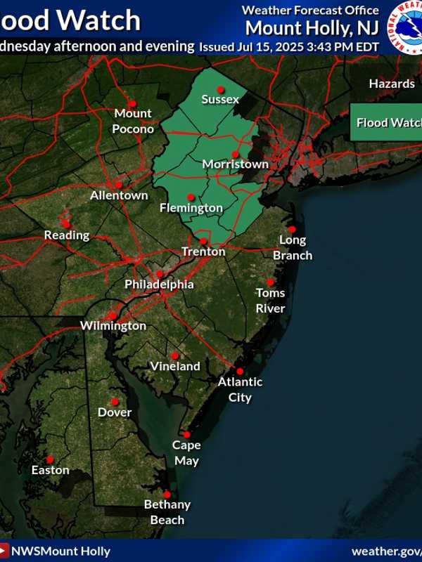
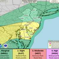
The Flood Watch, issued by the National Weather Service in Mount Holly, warns that flash flooding is possible in seven New Jersey counties from Wednesday afternoon, July 16, through late Wednesday night.
The counties include Sussex, Warren, Morris, Hunterdon, Somerset, Middlesex, and Mercer, affecting cities such as New Brunswick, Morristown, Newton, Flemington, Trenton, and Somerville, of…
Broadway, Oxford Get 3+ Inches In Warren County: See The Town-By-Town Totals
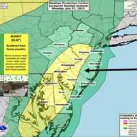
Overnight storms slammed North and Central Jersey with up to 7 inches of rain, flooding roads, trapping cars, and shutting down major highways by Tuesday, July 15, according to the National Weather Service and emergency alerts.
The storm left two people dead in Plainfield, where waters rose quickly, leaving residents trapped in vehicles.
The heaviest rainfall came from Oakland (Bergen County), where 7 inches were recorded, followed closely by:
Plainfield (Union County): 6.59 inches
Mountainside (Union County): 6.35 inches
Watchung (Somerset County): 6.51 inches
Edison Twp (Middlesex Count…
State Of Emergency Declared: Cars Submerged, Hundreds Without Power As Storms Sweep Through NJ
New Jersey Gov. Phil Murphy declared a state of emergency Monday evening, July 14, as storms swept through the state.
At 8:45 p.m., NJ Transit announced major impacts across multiple rail lines due to weather-related conditions.
Severe flooding left cars underwater with drivers stranded, and thousands without power. Some of those areas include Route 22 in Scotch Plains, local streets in Cranford, Edgewater, and Teaneck, Route 287, and Route 78.
Our crews were on the scene in Scotch Plains, New Jersey, where they witnessed a dramatic water rescue unfold.A flash flood warning i…
Tornado Watch Issued In Ocean County; Severe Thunderstorm Watch Issued For All 21 NJ Counties
A Severe Thunderstorm Watch is in effect for all 21 counties through 9 p.m., with forecasters warning of damaging wind gusts and heavy downpours. Flash Flood and Heat Advisories also remain in place as of Tuesday afternoon, the National Weather Service said.
In Ocean County, a Tornado Warning was issued just before 6:30 p.m. and remains in effect until 7:15 p.m. Tuesday. Radar indicated potential tornadic activity over areas including Lakewood, Cassville, Pine Lake Park, Leisure Village, New Egypt, and Hornerstown.
As of 7 p.m., more than 6,800 customers were without power. According to JCP…
Storms Knock Out Power To Thousands Across NJ; Thunderstorm Watch In Effect Until 10PM
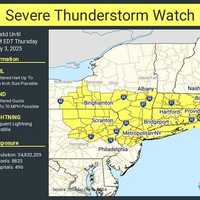
Thousands of homes and businesses lost power across New Jersey on Thursday, July 3, as storms moved through the state, according to outage data from JCP&L and PSE&G.
As of 6:15 p.m., Sussex County had the most widespread outages, with 3,029 customers in the dark, JCP&L reported. The hardest-hit towns included:
Sparta, with 1,724 outages
Ogdensburg, with 404 outages
Andover, with 298 outages
Stillwater, with 210 outages
In Morris County, 1,295 customers were without power, including:
646 in Chester
265 in Mendham Borough
136 in Mendham Township
Smaller outages were reported in…
More Than 10K Lose Power As NJ Swelters In 106° Heat
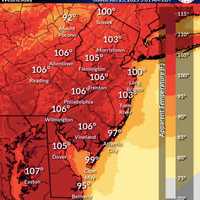
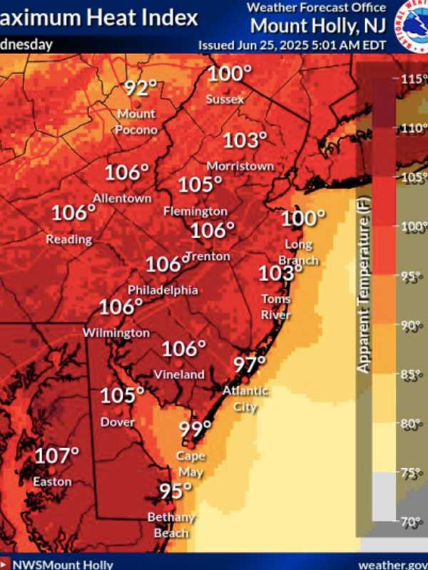
New Jersey is sweltering under dangerously high heat and humidity, with feels-like temperatures hitting 106° in multiple cities on Wednesday, June 25, according to the National Weather Service in Mount Holly.
Trenton, Vineland, Allentown, Philadelphia, and Wilmington all reached peak heat indices of 106°, while Easton, PA, topped out at 107°, weather officials said. Long Branch and Sussex hit 100°, and Toms River wasn’t far behind at 103°.
To make matters worse, more than 10,000 residents across the state were without power as of 7:30 p.m., making it even harder to cool off:
PSE&G outa…
Tornado Risk, 70 MPH Winds, 100° Heat: NJ Braces for Explosive Weather Outbreak (Timing)
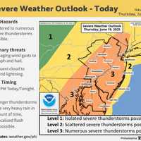
New Jersey is facing a one-two weather punch Thursday, June 19 (Juneteenth): dangerous heat and the threat of severe storms, the National Weather Service warns.
High temperatures in the low 90s, paired with tropical humidity, could push the heat index to 100 degrees across much of the state, especially south of I-78, according to the Mount Holly Forecast Office. Conditions are expected to peak Thursday, June 19, between 4 p.m. and 10 p.m.
"High temperatures in the low 90s combined with high humidity will lead to heat indices reaching 95–100 degrees," forecasters said in the latest alert. "D…